
Exyn documents autonomous underground surveying at Canadian Royalties nickel mine
Canadian Royalties uses Nexys across drone, handheld and vehicle configurations to survey stopes and stockpiles.
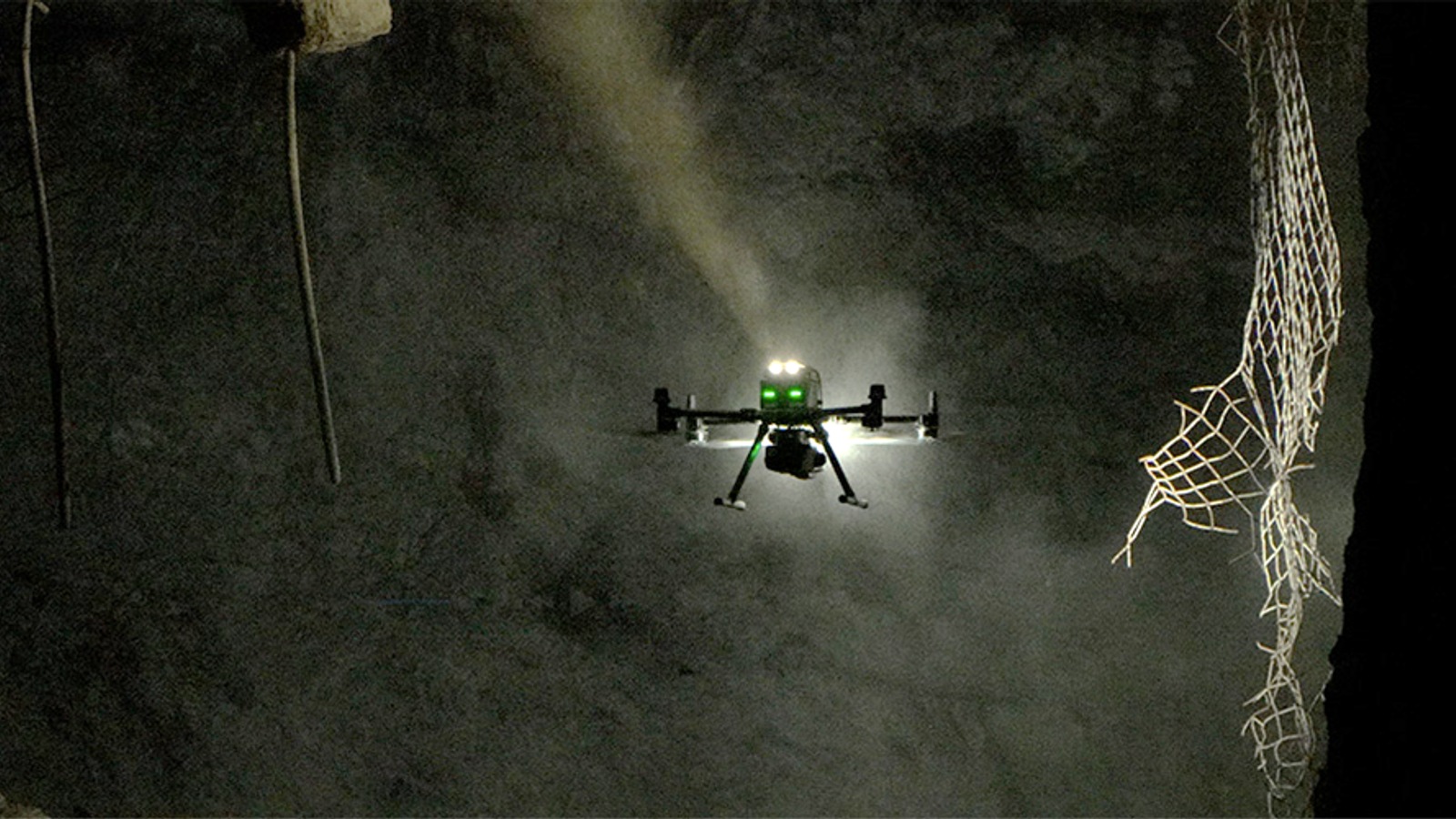
Exyn Technologies published a case study on 8 April 2025 documenting Nexys mapping at Canadian Royalties’ underground nickel and copper mines in Nunavik, Quebec. The operator uses the system on an autonomous drone, as a handheld scanner and on a vehicle to survey underground cavities and stockpiles. Canadian Royalties first adopted an Exyn drone package in 2021; April marks publication of the case study.
The mines’ production stopes measure roughly 30 metres high, 20 metres deep and 20 metres wide. Surveyors compare excavated volumes with mine plans to assess blasting performance and decide whether to recover remaining material. They also conduct monthly stockpile surveys for management and regulatory reporting, work that previously required walking over unstable piles.
Nexys combines LiDAR scanning with localisation and mapping to produce three-dimensional measurements where satellite positioning is unavailable. Canadian Royalties’ chief engineer reported denser data, faster processing and more accurate measurements than the previous cavity-monitoring system. Reusing the scanner across aerial, handheld and vehicle configurations lets the mine address different surveying tasks with the same equipment.