
MatrixSpace launches Fusion 360 for multisensor drone detection
Radar, optical and RF observations are correlated at the edge to build a shared low-altitude airspace picture.
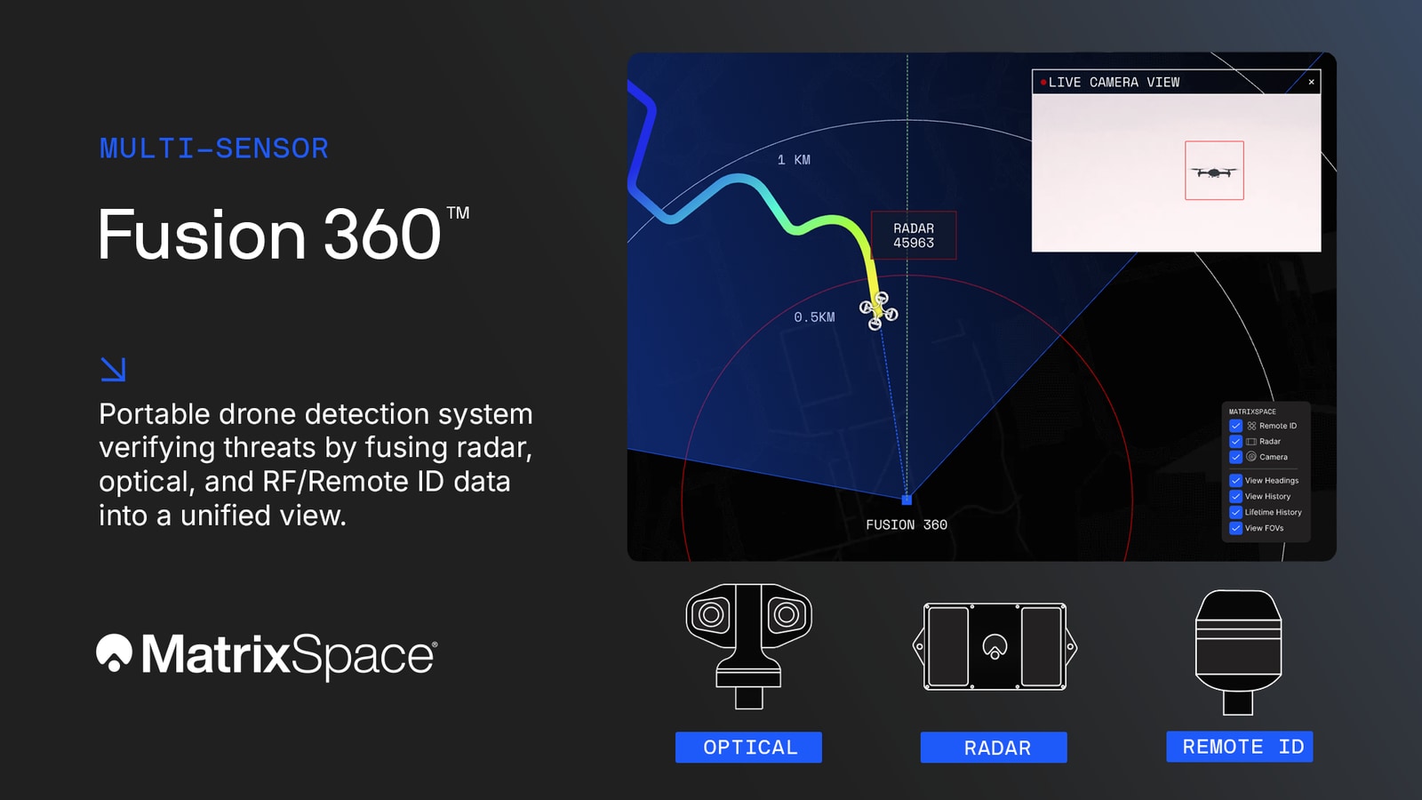
MatrixSpace has launched Fusion 360, a portable drone-detection system combining radar, optical and RF/Remote ID observations in a common airspace view. Announced on 12 February 2026, the product is aimed at public events, critical infrastructure and defence operations requiring detection and tracking of small, low-flying aircraft.
The system correlates observations at the edge so an operator can examine a track using several sensing methods. Radar supplies physical detection and tracking, optical sensors add visual observations, and RF or Remote ID inputs provide available radio and identity information. Combining these inputs supports monitoring of both broadcasting aircraft and drones that must be located through radar or optical sensing.
Fusion 360 builds on MatrixSpace’s Portable 360 Radar introduced in December 2025. That earlier kit packaged panoramic radar coverage into a transportable system that could be assembled at a temporary site and linked with other units. The new product adds sensor layers and correlation around the same requirement for rapidly deployed low-altitude awareness.
The MatrixSpace AI Platform supplies edge processing and a shared picture for local operators and remote command centres. Individual systems can be relocated or networked as coverage requirements change, and the company describes interfaces for integration with existing counter-drone and security equipment. Its product range continues to include Portable 360 for radar-only applications alongside the multisensor Fusion 360 configuration.