
ExynAero
About
About ExynAero
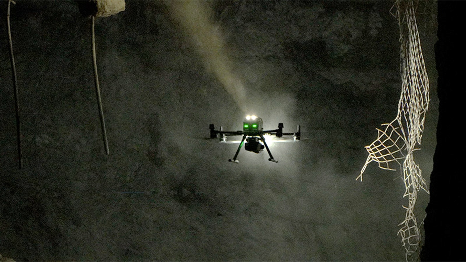
ExynAero combines a protected multirotor with lidar, onboard compute and ExynAI autonomy for operation inside mines, tunnels and industrial structures. The aircraft builds a three-dimensional map while localising, planning paths and avoiding obstacles without GPS, lighting or prior infrastructure.
Operators define a survey area and supervise the mission from a safe location. Collected point clouds feed ExynView for visualisation, measurement and export into mine and survey software. Exyn supplies the vehicle, mapping workflow, training and field support.
Capabilities
Source-backed capabilities
- Capability areas: GPS-denied operation
- Workflows: Industrial inspection
- Operating environments: Underground, indoor, industrial and GPS-denied inspection environments.
- Deployment model: Autonomous drone system operated by inspection and mapping teams.
- SLAM mapping
Claimed - ExynAero uses LiDAR-based SLAM to map complex industrial spaces. - environment: underground mines, complex indoor spaces and hazardous GPS-denied job sites
Source - GNSS-denied navigation
Claimed - 2020-10-27 - Develops autonomous aerial robot systems and related mapping, localization, and autonomy software for GPS-denied, complex, and safety-critical environments.
Source - GNSS-denied navigation
Claimed - ExynAero navigates underground and indoor industrial spaces without GPS or Wi-Fi. - environment: underground mines, complex indoor spaces and hazardous GPS-denied job sites
Source - Autonomous mine exploration
Customer-site use - 2023-05-01 - NSS Canada deploys Exyn systems at Jaguar Mining in Brazil
Source
Timeline
- NSS Canada deploys Exyn systems at Jaguar Mining in Brazil
2023-05-01 - Deployment - Exyn systems were implemented at Jaguar Mining to improve mine safety and efficiency The deployment extended Exyn's mining footprint in Brazil through NSS Canada
Source - Exyn expands with NSS Canada as strategic distributor
2021-06-28 - Partnership - Added NSS Canada as a strategic distributor Expanded commercial reach in the Canadian mining market
Source - Exyn opens its first Canadian office at the NORCAT Underground Centre
2021-01-26 - Facility Opening - The Sudbury location placed engineering and product staff near active mine environments for demonstrations and live testing. The office expanded customer support for operators across Sudbury and Northern Ontario. The expansion followed the ExynAero and ExynPak launches and supported further autonomous-mining product development.
Source - Exyn launches in Australia with C.R. Kennedy as distributor
2020-11-18 - Partnership - Selected C.R. Kennedy as distributor in Australia Positioned the partnership around autonomous aerial drones for mining and surveying
Source - Exyn launches ExynAero drone and ExynPak mapping products
2020-10-27 - Product Launch - Exyn announced ExynAero as a fully autonomous drone product. The same product-line expansion introduced ExynPak for portable autonomous mapping workflows. Develops autonomous aerial robot systems and related mapping, localization, and autonomy software for GPS-denied, complex, and safety-critical environments.
Source
Context
Market context
ExynAero is Exyn’s autonomous aerial mapping robot for GPS-denied industrial environments such as mines, tunnels and infrastructure sites.
- Target environment: Underground, indoor, industrial and GPS-denied inspection environments.
- Workflow context: Autonomous exploration, 3D mapping, inspection, data capture and GPS-denied navigation.
- Deployment model: Autonomous drone system operated by inspection and mapping teams.
- Commercial maturity: Public Exyn product with commercial mapping and inspection use cases.
- Adoption constraints: Requires site access, mapping workflow integration, sensor-data processing and safe autonomous flight planning.
- Market position: Autonomy-first aerial mapping system for environments where manual piloting and GPS navigation are limited.
- Adjacent products: Autonomous drone for underground mapping, industrial inspection and GPS-denied data collection.
Related Systems
- EVO II Pro V3
Autel Robotics - UAV
- FIXAR 007 LE
FIXAR - UAV
- FIXAR 007 NG
FIXAR - UAV
- FIXAR 025
FIXAR - UAV
- Freefly Astro
Freefly Systems - UAV
- Freefly Astro Max
Freefly Systems - UAV Package