
ExynAI
About
About ExynAI
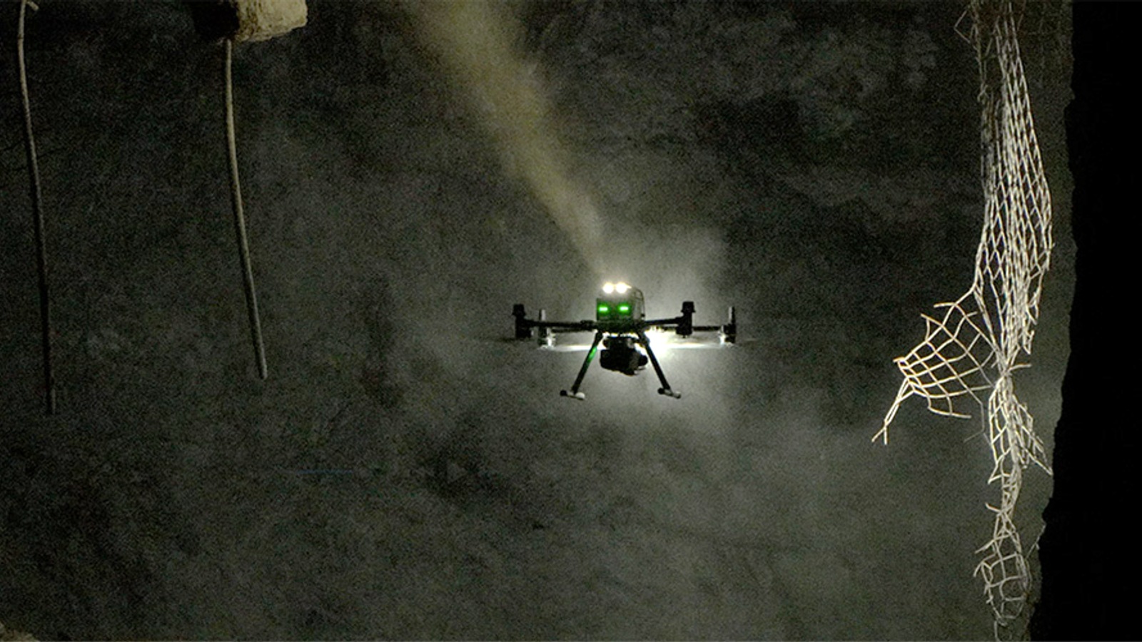
ExynAI combines LiDAR-based simultaneous localisation and mapping with onboard navigation for robots working without GPS, reliable communications or installed infrastructure. Operators define an area or objective while the software builds a colourised three-dimensional map, reasons about obstacles and dust, selects a route and monitors battery reserves for return to home.
Exyn sells aerial, ground and combined autonomy licences for its Nexys mapping platform. Aerial configurations add fly-to, volumetric-exploration and planar-inspection modes; the ground package supports autonomous scanning on approved robots such as Boston Dynamics Spot. Exyn says the autonomy stack has been used across hundreds of deployments and tens of thousands of flights since 2016.
Capabilities
Source-backed capabilities
- Workflows: Autonomous navigation, SLAM mapping, localization, exploration and data capture for robots operating without reliable GPS.
- Operating environments: GPS-denied industrial sites, mines, infrastructure assets, survey environments and field robotics deployments.
- Target markets: Industrial operators, survey teams, robotics integrators and developers needing field autonomy software.
- Deployment model: Commercial autonomy stack embedded in Exyn systems and connected to Exyn's industrial mapping workflows.
- GNSS-denied navigation
Claimed - 2026-06-10 - The software supports air, ground and marine deployments in GPS-denied mines, tunnels, industrial facilities and infrastructure.
Source - Autonomous mine exploration
Claimed - 2026-06-10 - The software supports air, ground and marine deployments in GPS-denied mines, tunnels, industrial facilities and infrastructure.
Source
Timeline
- Range becomes Exyn Defense
2026-06-23 - Org Change - The subsidiary applies ExynAI to aerial, ground and hybrid robots operating without reliable GPS, communications or external infrastructure. Named application areas include subterranean mapping, infrastructure inspection, reconnaissance, battle-damage assessment and tactical logistics. The dedicated organisation is intended to work with defence agencies, prime contractors, systems integrators and allied partners.
Source - ExynAI adds automated processing and mapping-quality controls
2026-06-10 - Capability - The release added advanced filtering, improved georeferencing and control-point detection, plus broader QA/QC tools. Workflow changes include batch processing and automation intended to reduce rework between field capture and validated 3D datasets. The software supports air, ground and marine deployments in GPS-denied mines, tunnels, industrial facilities and infrastructure.
Source - Exyn defense subsidiary Range advances USSOCOM evaluation pathway
2026-05-19 - Partnership - Exyn announced that its defense subsidiary Range executed a Vendor Loan Agreement with USSOCOM. Range also entered an agreement with Asylon Robotics to support autonomous inspection work at the U.S. Air Force Warner Robins Air Logistics Complex. The event marks a defense and industrial pathway for ExynAI autonomy in GPS-denied inspection environments.
Source - Exyn and Ascent AeroSystems partner on next-generation UAV solutions
2021-08-12 - Partnership - Announced a strategic partnership to build next-generation autonomous UAV solutions Combined Exyn autonomy software with Ascent's UAV hardware
Source - Sandvik and Exyn agree to explore mine autonomy collaboration
2020-07-20 - Partnership - Announced a collaboration to explore new mine-autonomy opportunities The tie-up linked Exyn autonomy with Sandvik's mining equipment footprint
Source
Context
Market context
Autonomy, mapping, and localization software stack used across Exyn aerial and field systems.
- Target environment: GPS-denied industrial sites, mines, infrastructure assets, survey environments and field robotics deployments.
- Workflow context: Autonomous navigation, SLAM mapping, localization, exploration and data capture for robots operating without reliable GPS.
- Customer context: Industrial operators, survey teams, robotics integrators and developers needing field autonomy software.
- Deployment model: Commercial autonomy stack embedded in Exyn systems and connected to Exyn's industrial mapping workflows.
- Commercial maturity: Commercial software layer with a long Exyn product history, though public packaging has shifted across hardware and software surfaces.
- Adoption constraints: Adoption depends on supported platforms, sensor fit, mapping quality, integration model, support and reliability in harsh sites.
- Market position: Core autonomy layer behind Exyn's value, separate from any single drone or handheld mapping product.
- Adjacent products: ExynPak, ExynAero, Emesent Hovermap autonomy, Skydio autonomy stack