
DJI
About
About DJI
DJI develops aerial imaging, enterprise, agricultural and delivery-drone systems for consumers, filmmakers, public-safety teams, infrastructure operators and farms. Its consumer catalogue centres on camera aircraft and handheld imaging equipment. DJI Enterprise combines Matrice aircraft, Zenmuse payloads, Dock stations, FlightHub fleet software and developer interfaces for inspection, mapping, emergency response and remote operations. DJI Agriculture supplies Agras spraying and spreading aircraft alongside field-planning and data-management tools.
Payloads, charging infrastructure, flight control and data software extend the portfolio beyond individual aircraft. DJI Agriculture reported more than 600,000 agricultural drones in global use by the end of 2025. Its delivery line includes FlyCart multirotor systems and the EV50 compound-wing VTOL cargo drone introduced in China in July 2026, while imaging remains the company's principal consumer-facing product category.
Articles

Products
- Agras T100 Dual Battery Spraying System
- Agras T55
- DJI AGRAS T40
- DJI Air 3S
Air
- DJI Avata 2
Avata
- DJI Avata 360
Avata
- DJI Dock 2
- DJI Dock 3
- DJI Flip
Flip
- DJI FlyCart 30
FlyCart
- DJI Inspire 3
Inspire
- DJI Matrice 350 RTK
- DJI Matrice 400
- DJI Mavic 3 Enterprise Series
- DJI Mavic 3 Pro
- DJI Mavic 4 Pro
Mavic
- DJI Mini 3
- DJI Mini 4 Pro
Mini
- DJI Neo
Neo
- EV50
- Matrice 30 Series
- Matrice 4E
- Matrice 4T
Supply
Supply chain relationships
- Tiejin Technology
Inbound - Mechanical Components - Tiejin supplies miniature bearings to DJI-controlled companies, including Baiwang and Ronin
Source - Fullink Technology
Inbound - Mechanical Parts - Fullink supplied molds and precision structural parts to DJI through Q1 2025
Source - Intel
Inbound - Compute & Control - DJI's Manifold 2-C drone computer uses an Intel Core i7-8550U processor
Source - ZMAX Optics
Inbound - Optics - ZMAX Optics supplies drone optical lenses to DJI under a continuing supply relationship
Source - 东莞市宏联电子有限公司
Inbound - Mechanical Parts - Dongguan Honglian supplies drone pivot shafts to DJI under a signed supply agreement
Source - NVIDIA
Inbound - Compute & Control - DJI's Manifold 2-G drone computer uses an NVIDIA Jetson TX2 module
Source - Xinzhi Group
Inbound - Motors And Drives - Xinzhi mass-produces motor stator and rotor parts for DJI industrial drones
Source - Zhuhai CosMX Battery
Inbound - Energy Storage - CosMX supplies industrial drone batteries to DJI under continuing cooperation
Source - Freefly Systems
Outbound - actuation and motion control - Original Freefly Alta X base part 950-00100 used DJI E7000 motors before the Hobbywing revision
Source - HGLRC
Outbound - Video Systems - DJI O4 Air Unit is installed in HGLRC Draknight's HD O4 version; analog and power-kit versions differ
Source - GEPRC
Outbound - Communications - GEPRC DarkStar16, 22 and 25 O4 Pro configurations include DJI O4 Air Unit Pro
Source - Axisflying
Outbound - Communications - Axisflying offers Bando 5 configurations with DJI O4 Lite and O4 Pro systems
Source - Flywoo
Outbound - Communications - Flywoo offers Explorer LR 4 V2 with DJI O4 Wide installed; the separate Drone Kit variant excludes the air unit
Source - iFlight
Outbound - Communications - DJI O4 Air Unit Pro is installed in iFlight Chimera7 Pro V2 O4 6S HD drones
Source - GEPRC
Outbound - Communications - GEPRC Cinebot30 HD O3 installs the DJI O3 Air Unit inside the aircraft fuselage
Source - BETAFPV
Outbound - Communications - BETAFPV offers Meteor75 Pro with a DJI O4 Air Unit; the PNP version excludes the HD video transmitter
Source - Exyn
Outbound - Drone Components - Exyn identifies DJI as about 5% of its component purchases for drone manufacturing
Source - HGLRC
Outbound - Communications - HGLRC Nblade PRO 7-inch DJI O4Pro specifications list the DJI O4 Air Unit Pro HD VTX and camera
Source
Team
- Frank Wang - Founder and CEO - Wang leads DJI across consumer, professional, and enterprise drone systems, including aerial imaging, flight-control, gimbal, and autonomy products.
Resources
Media library
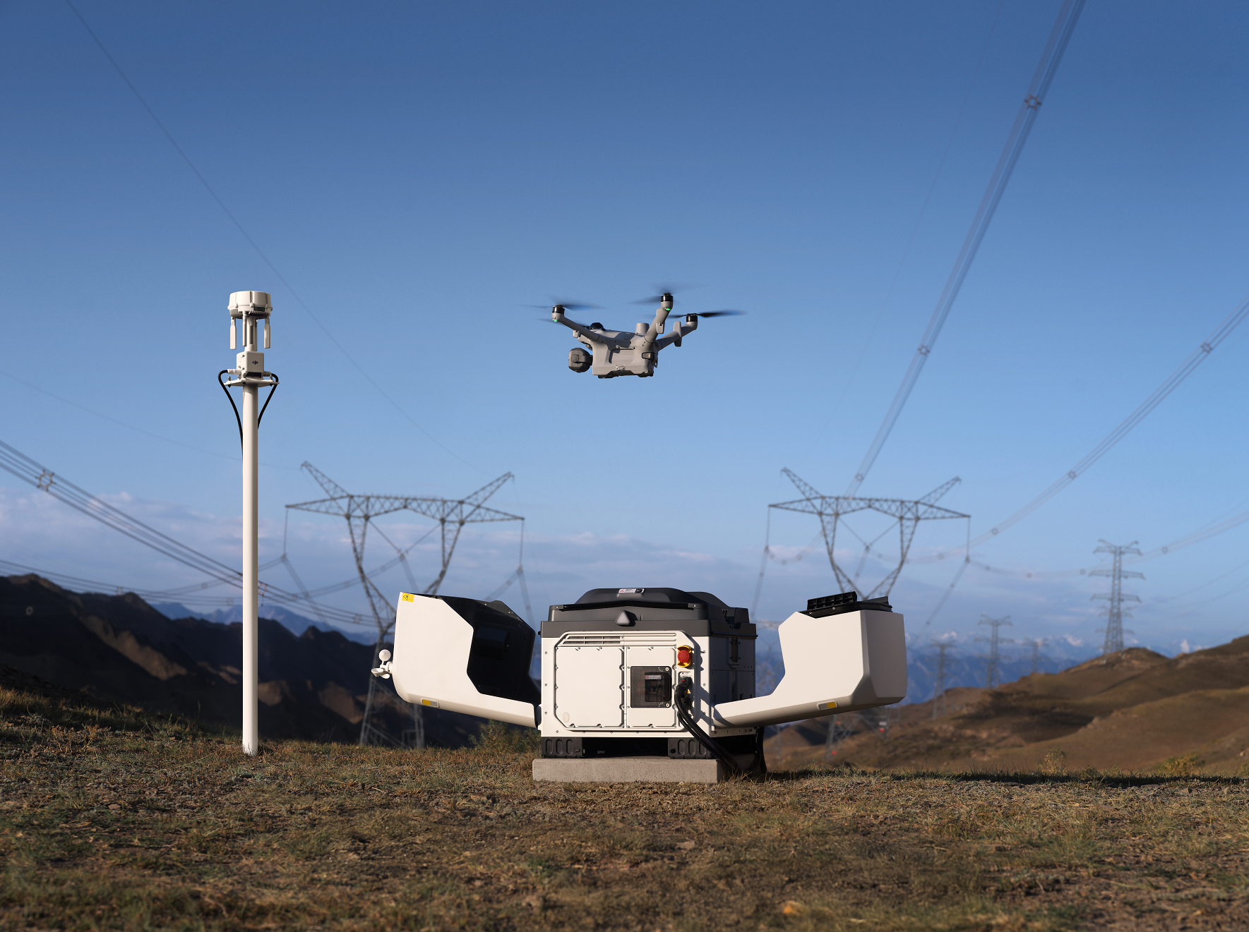
- DJI Dock 3 vehicle-mounted deployment
image · DJI
Source - DJI Matrice 400 in flight
image · DJI
Source - DJI Matrice 400 payload ecosystem
image · DJI
Source - This Is DJI Matrice 400
video · DJI Enterprise
Source - Introducing DJI Dock 3
video · DJI Enterprise
Source
Official DJI Enterprise manuals, safety and interface documents with current aircraft, dock and operational media.
- DJI Matrice 400 user manual
PDF · Matrice 400, version 2.0 · DJI
Source - DJI Matrice 400 redundant systems report
PDF · Matrice 400 · DJI
Source - Matrice 350 RTK E-Port Development Kit information
PDF · Matrice 350 RTK E-Port · DJI
Source - DJI Dock 3 and Matrice 4D Series user manual
PDF · DJI Dock 3 and Matrice 4D Series · DJI
Source - DJI Dock 3 safety guidelines
PDF · DJI Dock 3 · DJI
Source
Timeline
Events
- 2026-10-14 - Product Launch - DJI launches Dock 4 and Matrice 5TD with automated battery swapping
Dock 4 completes a battery swap in 25 seconds under DJI’s test conditions. Matrice 5TD offers up to 59 minutes of flight and combines thermal, telephoto and night-vision imaging with lidar, mmWave and vision obstacle sensing. FlightHub 2 supports mission management, while onboard AI recognizes 17 object classes; availability varies by region.
Source - 2026-10-13 - Deployment - DJI Dock 2 supports Skyports BVLOS surveys at HumeLink West
A permanently deployed DJI Dock2 conducts surveys every two weeks, supervised from Lane Cove more than350 km away. The programme follows a12-month EVLOS survey campaign and uses CASA broad-area BVLOS approval. DroneDeploy processes flight data into2D and3D site models for construction monitoring.
Source - 2026-09-04 - Award - DJI ROMO P2 wins IFA 2026 Best in Home Appliances award
The official IFA 2026 winners list names DJI ROMO P2 as a Best in Home Appliances winner. IFA says entries were reviewed by an independent expert panel from submitted materials rather than physical product testing.
Source - 2026-07-20 - Product Launch - iFlight launches Defender 20 Lite X O4 cinewhoop
The camera offers a 159-degree field of view and 4K recording at 60 frames per second, with RockSteady and Gyroflow support. Removable propeller guards allow protected indoor flying or an open-prop configuration. Receiver options include DJI remote-controller support without an extra receiver or an iFlight ELRS 2.4 GHz receiver.
Source - 2026-07-09 - Product Launch - DJI discloses EV50 VTOL transport drone
EV50 supported long-distance, high-altitude deliveries for atmospheric chemistry research on the northern slope of Qomolangma. The aircraft is specified with a 50 kg payload, 270 L cargo bay, 150 km empty range and 160 km/h maximum flight speed. EV50 is a fixed-wing VTOL cargo platform, separate from DJI's multirotor FlyCart delivery drones.
Source - 2026-07-06 - Manufacturing - Exyn discloses four material drone-production suppliers
DJI represented approximately 5% of Exyn's component purchases during the disclosed period. SuNPe represented approximately 29% of fabrication services and Hesai approximately 15% of lidar-technology purchases.
Source - 2026-07-01 - Product Launch - DJI launches Agras T55 and T100 dual-battery spraying system globally
Agras T55 supports a 50 L spray payload and a 55 kg spreading payload. The T100 dual-battery system expands spraying endurance for larger-field operations. The global release covers spraying, spreading and agricultural logistics workflows.
Source - 2026-04-29 - Market Signal - DJI reports more than 600,000 agricultural drones in global use
More than 600,000 trained agricultural-drone operators accompanied the installed base. Its support network comprised 3,500 service and repair centres worldwide. DJI linked the installed base to aerial spraying and other precision-farming workflows.
Source - 2025-06-10 - Product Launch - DJI launches Matrice 400 enterprise drone
DJI introduced Matrice 400 on June 10, 2025, as its new enterprise flagship drone platform. The aircraft offers up to 59 minutes of flight time, a payload capacity of up to six kilograms and LiDAR plus millimetre-wave radar obstacle sensing. O4 Enterprise Enhanced Video Transmission and airborne relay capability support emergency response, inspection, mapping and construction missions.
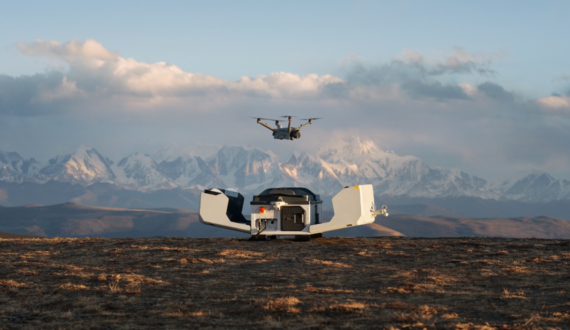
Source - 2025-02-27 - Product Launch - DJI launches Dock 3 for fixed and vehicle-mounted remote operations
Dock 3 supports Matrice 4D and Matrice 4TD aircraft. The dock is designed for 24/7 remote operations. The launch added vehicle-mounted deployment alongside fixed installation.
Source - 2025-02-10 - Product Launch - Gather AI introduces Starling 2 Logis with ModalAI VOXL 2
ModalAI and Gather AI co-developed the US-made aircraft to augment Gather AI's existing DJI-based offering. Advertised scanning throughput reached up to 1,500 pallets per hour, compared with the previous average of 900. The configuration was designed for aisles as narrow as 4 feet 5 inches and adds dynamic obstacle avoidance and depth data for inventory analysis.
Source - 2025-01-08 - Product Launch - DJI launches Matrice 4 Series for intelligent aerial operations
DJI's newsroom listed the Matrice 4 Series launch on January 8, 2025. The series was positioned for aerial operations that need onboard intelligence. The launch extended DJI's enterprise aircraft portfolio ahead of the Dock 3 release.
Source - 2018-10-30 - Deployment - Devon & Cornwall and Dorset Police use DJI Mavic 2 Enterprise for police drone operations
The case study names Devon & Cornwall Police and Dorset Police as the customer. The deployment uses DJI Mavic 2 Enterprise drones for law-enforcement and containment workflows. The source highlights police operations made more effective by drones in the United Kingdom.
Source - 2016-03-28 - Product Launch - XOAR releases carbon-fibre propellers for DJI Inspire 1
The carbon-fibre propellers were designed for the Inspire 1 carrying DJI's X5 professional camera. Drone Gear tested the propellers against the aircraft's stock configuration. XOAR made the replacement propellers available through authorised marketplace channels.
Source - 2015-11-18 - Regulatory - DJI introduces geofencing system for its drones
The system used continually updated airspace information for DJI aircraft operations. DJI framed the feature around safer flight near sensitive or restricted areas. The announcement added a software-based compliance layer to DJI's drone operating stack.
Source - 2015-08-07 - Market Signal - DJI reports commercial drone exemptions dominated by DJI aircraft
DJI cited more than 700 Section 333 exemptions issued to commercial drone operators. The company said 71 percent of the listed exemptions were for companies using DJI products. The report gave DJI an early public adoption signal in U.S. commercial drone operations.
Source - 2010-02-14 - Demonstration - DJI puts XP3.1 WayPoint autonomous autopilot into trial testing
The system used 3D map technology with waypoint-control and communications algorithms. DJI described security patrol, rescue, air-drop, and cartography missions as target uses. The trial marked an early autonomous ground-control capability in DJI's flight-control stack.
Source
Notes
Profile notes
- DJI discontinued AeroScope while installed detection systems remained in the field
reviewed 2026-07-20 - DJI stopped producing AeroScope, its receiver for identifying and tracking compatible DJI aircraft, but installed units and the protocol’s security consequences did not disappear at the same moment. The product’s end therefore separates new sales and vendor development from the continued operation of deployed receivers and aircraft broadcasting data in the supported format.
Source
Relations
Relationships
- Endesa
Robot Deployment Pilot - Endesa deployed DJI Dock 2 at Teruel Coal Power Station for a five-month energy-management test.
Context
Comparable profiles
- ABZ Innovation
comparable profile - Agriculture Drone Oem
- EAVISION (JIMU Robotics)
comparable profile - Agriculture Drone Oem
- Hangzhou Qifei Intelligent
comparable profile - Agriculture Drone Oem
- Garuda Aerospace
comparable profile - Agriculture Drone Oem
- MARUT Drones
comparable profile - Agriculture Drone Oem
Shared workflows
- 7A Drones
workflow adjacency - Agriculture Spraying Spreading
- DroneUp
workflow adjacency - Commercial Drone Operations
- AirData UAV
workflow adjacency - Commercial Drone Operations
- Avetics
workflow adjacency - Commercial Drone Operations
- Aonic
workflow adjacency - Commercial Drone Operations
- Skylark Drones
workflow adjacency - Commercial Drone Operations
- Vig-Sec Drone
workflow adjacency - Commercial Drone Operations
- Tracer Drone Technologies
workflow adjacency - Commercial Drone Operations
- Draganfly
workflow adjacency - Commercial Drone Operations
- Terra Drone
workflow adjacency - Commercial Drone Operations
- ZenaTech
workflow adjacency - Commercial Drone Operations
- Unifly
workflow adjacency - Commercial Drone Operations
Context tags
- Consumer commercial drone OEM layer - Stack Layer
- Consumer commercial drone OEM - Stack Layer
- Agriculture drone OEM - Peer Group
- Commercial drone operations - Workflow
- Agriculture spraying spreading - Workflow
- Commercial drone flight control - Capability
- Consumer drone markets - Customer Environment
- Commercial deployment - Commercial Stage